Thumbs Up or Down
0 liked this post
0 didn't like this post
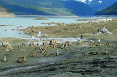
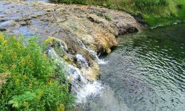
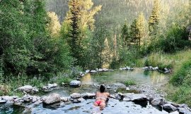
Over the last century, the region surrounding the Canoe River hot springs has transformed from an out-of-the-way trip in an old growth forest to an afternoon picnic on a rocky lakeside shore. The remains of old cedar trees stand like ghosts, watching generations of locals come to soak in the hot springs.
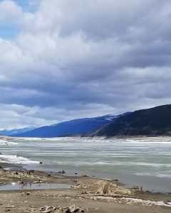
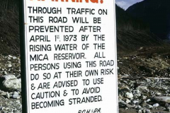
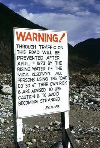
Pioneers from the Valemount region frequented the springs in the early 1900s. To get to them, they would drive a gravel road to mile 18 on the east side of the Canoe River, then take a canoe over the river. There was no water reservoir at the time because the area had not been logged, dammed, or inundated until the Mica Dam was completed in 1973.
Baths were a lot of work without heated running water, so the hot water was a bonus.
The hot spring is crystal pure and odourless. They’d soak in a large man-made cedar tub with pebbles on the bottom that local trappers had brought up from the river. Oswald Svenson had a trapper’s cottage nearby, as well as a small lake where rainbow trout could be caught. There were three tubs at first, but only one was operable by the 1960s.
They would pluck green algae from the surface water as you arrived. The tub had two streams flowing into it, one hot and one cold. They’d alter the water intakes to keep the temperature at a comfortable level.
In 1969, there was a logging camp on the Canoe River, and the excitement of going to the springs on winter weekends via logging bridges and old skid roads to soak in the hot springs. They mostly used the tub near the cabin, but there are three primary hot places in the region.
The clearing of forests on a large scale began in 972. The Mica reservoir would be filled, and the remnants of the logged forests and hot springs would be drowned beneath Kinbasket Lake, transforming the landscape dramatically.
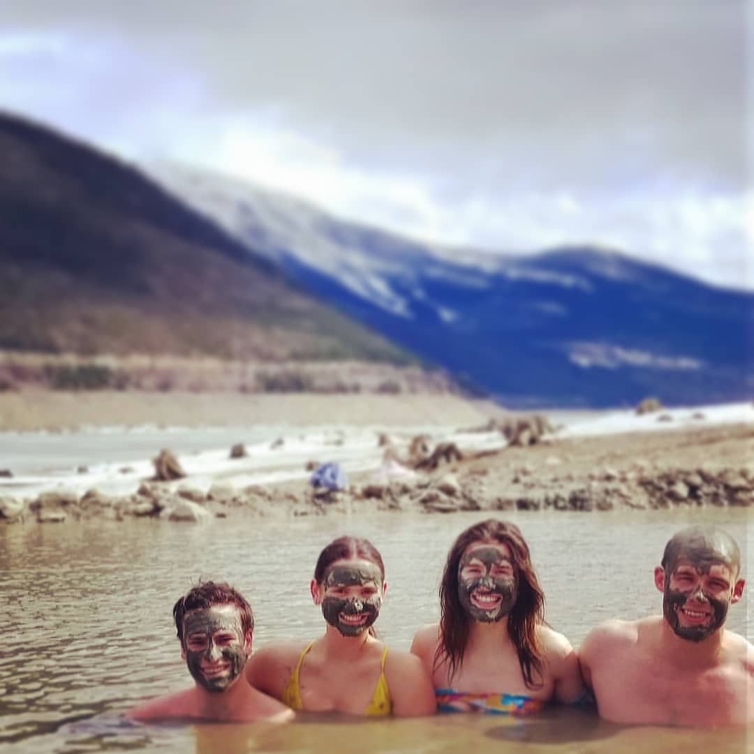
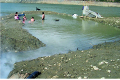
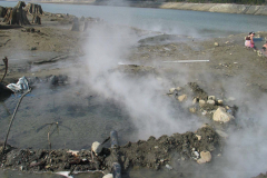
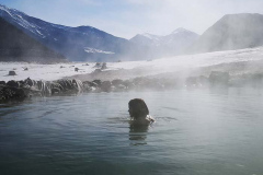
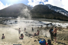
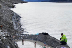
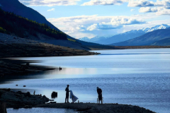
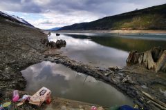
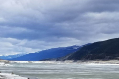
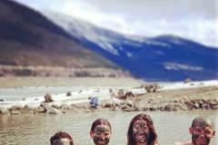
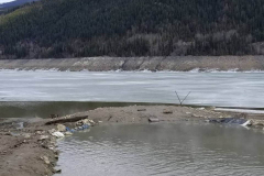
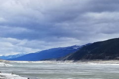
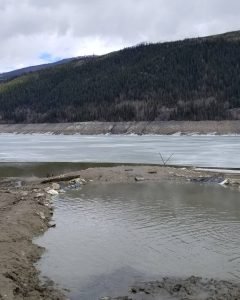
After 1973, access to the hot springs was limited to when the reservoir level was low enough to expose the spring. Visitors can drive to the springs from the west side of the valley, which is only a short beach walk away. The cedar tubs are now gone, and each time the water level changes, a new soaking pool is dug in the rocks and muddy beach. The experience has also evolved. Bathers are surrounded by an enormous view of mountains and a stony beach dotted with the stumps of old cedars, rather than a thick cedar forest and mosquito infestation. It’s a murky sulfur-scented soak that changes every time the water level ebbs and flows.
The valley has changed due to human energy demands. The question of how this hot spring’s geothermal potential will shape the environment in the future remains unanswered.
To get there:
Follow Canoe River West Forest Service Road 52.731144,-119.2694297 (click for location pin)it is located approximately 35km from the Town of Valemount. At the 26km mark on the gravel‐surfaced logging road, And allows visitors to drive a short walk away from the springs. The tubs are long gone, and a new soaking pool is dug Each year in the rocks and muddy beach bottom When the water level allows it. It is a muddy sulfur fragranced soak,
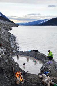
• Before the Mica Dam submerged the springs in 1973, Canoe River Hot Springs was a 4-star soaking spring.
• Few people are aware of Valemount’s hot spring, but It is still used by a few locals and hot spring lovers who bother to go there, it is well worth the effort!
Springs Location: 52.629882, -118.989233 (click for location pin)
After 1973 the hot springs became only accessible when the reservoir level was low enough to expose the spring(usually between late March and mid-may). You can click here and see the levels. They start to surface around 720m.
Featured photo by @bchotspringer
[owm-weather id=”3527″/]
Views:
12,948 views
